Elevate Your Business with Thermal Precision
Thermal Imaging

Welcome to Midcoast Aerial Imagery, where we blend passion, technology, and expertise to bring you unparalleled drone photography services. Our thermal drone images are not just pictures — they're insights into the unseen world. With the power of thermography, we reveal what the naked eye cannot see. Whether you're inspecting solar farms, monitoring tower integrity, or evaluating roofing conditions, our certified drone pilot, equipped with advanced drone technology, is here to help launch your project to new heights. Ready to explore a new perspective? Reach out to us today!

What Is Thermal Imaging?
Thermal imaging is a cutting-edge technology that allows us at Mid Coast Aerial Imagery to capture and analyze the invisible heat patterns emitted by objects. With our advanced thermal drones and thermography capabilities, we provide the invaluable service of translating infrared radiation into actionable data.
How Does Thermal Imaging Work?
At Mid Coast Aerial Imagery, we utilize state-of-the-art thermal drones equipped with advanced thermography capabilities. These specialized cameras detect and capture infrared radiation, which is then translated into visual representations of temperature variations. Through this method, we can identify anomalies, such as heat leaks, energy inefficiencies, or potential dangers, even in hard-to-reach areas.

Applications of Thermal Imaging Technology
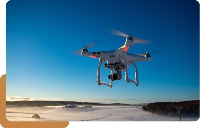
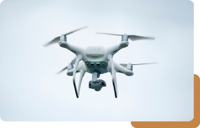
We believe in capturing more than just pictures — we capture memories, insights, and progress. Our advanced drone technology, including the DJI Air 2S and Insta360 Sphere, is at the heart of our services. We provide comprehensive drone photography services, from mesmerizing aerial imagery of real estate properties to vast job sites, we do it all. Whether it's a critical inspection or an innovative new project, our drone solutions are customized to your unique requirements.
There are numerous industries that can benefit from thermal imaging. Some key examples include:
Enhancing emergency response operations and improving situational awareness
Assisting in infrastructure inspections, environmental studies, and wildlife monitoring
Enabling accurate risk assessment, claims investigations, and damage assessments
Aiding in infrastructure assessments, identifying energy inefficiencies, and ensuring worker safety
Generating detailed 3D models, measuring land temperature variations, and mapping energy usage patterns
And so much more
Industries That Can Benefit From Thermal Imaging
Thermal imaging has numerous applications across various industries. With our expertise in thermal imaging technology, we assist in:

Public Safety Agencies

Government Organizations

Construction and Engineering

Mapping and Modeling

Insurance Agencies

Media Companies

Land Surveyors

Solar Plants

Railways

Agriculture

Thermal Imaging Expertise in Maine
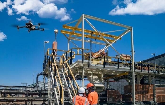
Safety-Focused and High-Quality Tower Inspections: At Mid Coast Aerial Imagery, we are certified through Technical Rescue Systems to provide high-quality and safety-focused data for tower inspections. Combining RGB and Thermal imaging, we ensure accurate inspections and maintenance of towers.
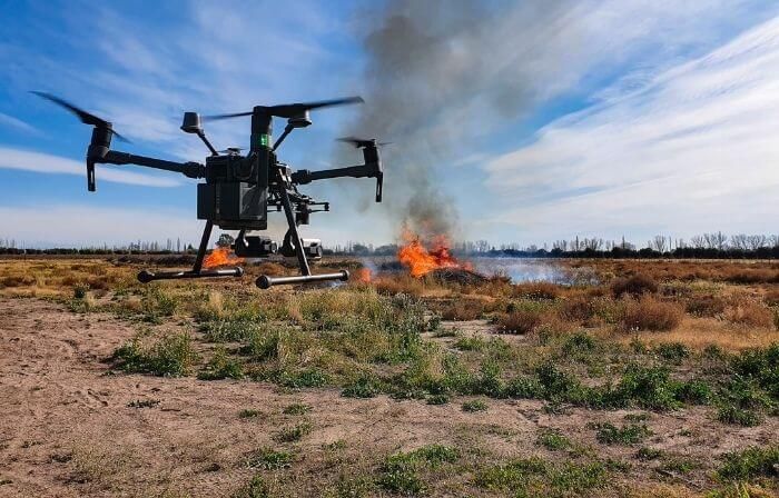
Efficient Monitoring and Management of Solar Farms: With our expertise and advanced equipment, such as the DJI M300 paired with an H20T camera, we can cover up to 2,000 acres in a single day. This enables us to efficiently monitor and manage solar panel systems, ensuring optimal performance.
Improving Energy Efficiency and Reducing Costs: Mid Coast Aerial Imagery assists in energy auditing by utilizing thermal imaging, identifying areas of energy loss, and recommending measures to improve energy efficiency. By optimizing energy usage, businesses can reduce operational costs and enhance sustainability.\

Why Choose Midcoast Aerial Imagery
As a passionate and certified drone pilot team, Midcoast Aerial Imagery is at the forefront of aerial innovation. We're not just operators — we're pioneers in the aerial imagery industry. Our founder, Zach, a local veteran with a rich background in technology, leads our team with a commitment to excellence. We specialize in multiple fields of drone photography, offering invaluable services to industries like solar farms, tower inspections, and roofing companies. Our expertise ensures that every flight captures not just images but also insights.
Unleash the Power of Thermal Imaging Today
In the rapidly evolving world of drone technology, Midcoast Aerial Imagery stands as your reliable partner. With a blend of expertise, technology, and a commitment to quality, we are here to elevate your projects to new heights. Embrace a new perspective, and let us help you see the unseen. Ready to transform your vision into reality? Reach out to us today, and let's embark on this aerial adventure together!
