3D Mapping with Precision and Care Along Maine’s Midcoast
Mapping the Future with Advanced Drone Technology
Welcome to Midcoast Aerial Imagery, where we blend passion, technology, and skill to offer unparalleled drone photography services. By choosing us, you're not just getting a service — you're embracing innovation. Ready to make your business soar to new heights? Contact us today to get started!

At Midcoast Aerial Imagery, our 3D drone mapping is more than just a service; it's a gateway to new possibilities for companies in and around the Midcoast region of Maine. Using state-of-the-art drones, we capture every contour and feature of your site, providing detailed 3D topographic maps that bring your project to life. Whether it's for construction, land management, or environmental studies, our maps are tools for success.
What Is 3D Mapping and How Does it Work?
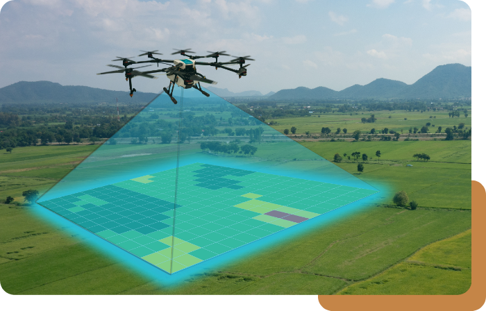
3D mapping, also known as drone mapping or photogrammetry, is the process of creating three-dimensional models or maps of a terrain, structure, or object using aerial imagery captured by drones. This process involves capturing a series of overlapping aerial photographs, which are then processed using specialized software to generate a detailed 3D model. By stitching together these images and analyzing the data, we can create highly accurate and detailed maps or models that can be used for various applications.
Benefits of 3D Mapping
The benefits of 3D mapping are numerous and varied, including:
High Precision: 3D mapping provides highly precise and detailed representations of terrain, structures, and objects, allowing for accurate measurements and analysis.
Cost-Effective: Compared to traditional surveying methods, 3D mapping using drones is often more cost-effective and efficient, saving both time and resources.
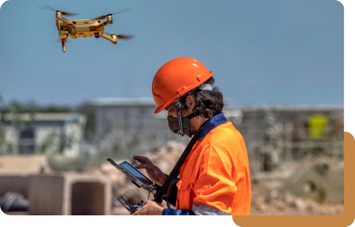
Enhanced Safety: By utilizing drones for aerial mapping, we can access hard-to-reach or hazardous areas without putting personnel at risk.
Improved Decision-Making: Detailed 3D models and maps provide valuable insights for planning, design, and decision-making processes, helping to streamline workflows and optimize resources.
Applications of 3D Mapping Technology
Midcoast Aerial Imagery leverages the capabilities of 3D mapping technology to address various challenges and streamline processes across different fields. Here are some key applications of our 3D mapping services:

Surveying and Mapping
Creating accurate 3D models of terrain, buildings, and infrastructure for surveying, mapping, and land management purposes.

Urban Planning and Development
Assisting urban planners and developers in visualizing proposed projects, analyzing spatial relationships, and evaluating the impact of development on the surrounding environment.

Asset Management
Managing and maintaining assets such as roads, bridges, pipelines, and utility networks by generating detailed 3D models for inspection, monitoring, and maintenance purposes.

Environmental Monitoring
Monitoring changes in the environment, including deforestation, land degradation, and habitat loss, through the creation of 3D models of ecosystems and landscapes.

Disaster Response and Management
Assisting emergency responders and disaster management agencies in assessing damage, planning relief efforts, and coordinating response operations by providing detailed 3D maps of affected areas.

Infrastructure Planning and Design
Facilitating the planning, design, and construction of infrastructure projects such as roads, railways, and airports by providing accurate 3D models for visualization, analysis, and simulation.

Archaeology and Cultural Heritage
Documenting and preserving archaeological sites, cultural heritage sites, and historic buildings through the creation of detailed 3D models for research, conservation, and educational purposes.

Film and Entertainment
Creating immersive virtual environments and realistic visual effects for film, television, and video games by integrating 3D mapping technology with computer graphics and animation techniques.

Precision Agriculture
Optimizing crop management practices, such as planting, irrigation, and fertilization, by generating 3D maps of farmland to analyze soil health, vegetation vigor, and crop health indicators.

Telecommunications & Wireless Networks
Planning and optimizing the deployment of telecommunications infrastructure, including cell towers and antennas, by creating 3D models of terrain and radio propagation environments for network planning and optimization.

Industries Benefiting from 3D Mapping
Our 3D topographic mapping services cater to a wide range of industries around the Midcoast region of Maine, including:
Construction
Real Estate
Utilities
Agriculture
Environmental Management
Infrastructure
And Many More
In each of these industries, our tailored 3D mapping solutions provide valuable insights and support various aspects of operations, planning, and decision-making.
Expertise in Efficient Aerial Coverage
At Midcoast Aerial Imagery, we pride ourselves on our expertise in delivering high-quality 3D mapping solutions tailored to meet the unique needs of our clients. Our team brings a wealth of knowledge and experience to every project, backed by:
Safety-Certified Team: We are certified through Technical Rescue Systems, guaranteeing adherence to top safety standards in all aerial operations. This certification underscores our unwavering commitment to safety, empowering us to execute mapping projects with precision and confidence, even in challenging environments.
Cutting-Edge Imaging: Leveraging state-of-the-art technology, we provide comprehensive data for 3D mapping. Alongside standard RGB imaging, our thermal imaging capabilities detect temperature variations and reveal hidden anomalies. This dual imaging approach enhances the accuracy and depth of our mapping data, delivering invaluable insights across diverse industries.
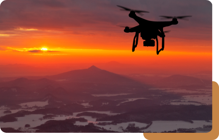
Efficient Aerial Coverage: Equipped with advanced gear and streamlined processes, we efficiently cover vast areas. Utilizing the DJI M300 and H20T camera, we can span up to 2000 acres in a day. This exceptional coverage rate ensures prompt and cost-effective solutions for projects of any size, eliminating unnecessary delays for our clients.
What Makes Our Drone Photography Company Great?
What sets us apart? It's our commitment to quality and customer satisfaction. As a local veteran and a certified drone pilot, our founder, Zach, ensures every project benefits from his expertise and dedication. We're not just offering 3d drone mapping — we're providing peace of mind with every flight.
Reach Out Today
Eager to explore the potential of 3D mapping? At Midcoast Aerial Imagery, we're ready to guide you through every step. From the initial consultation to the final delivery, we ensure your experience is seamless and satisfying. Contact us today to transform your vision into reality with advanced drone technology.
