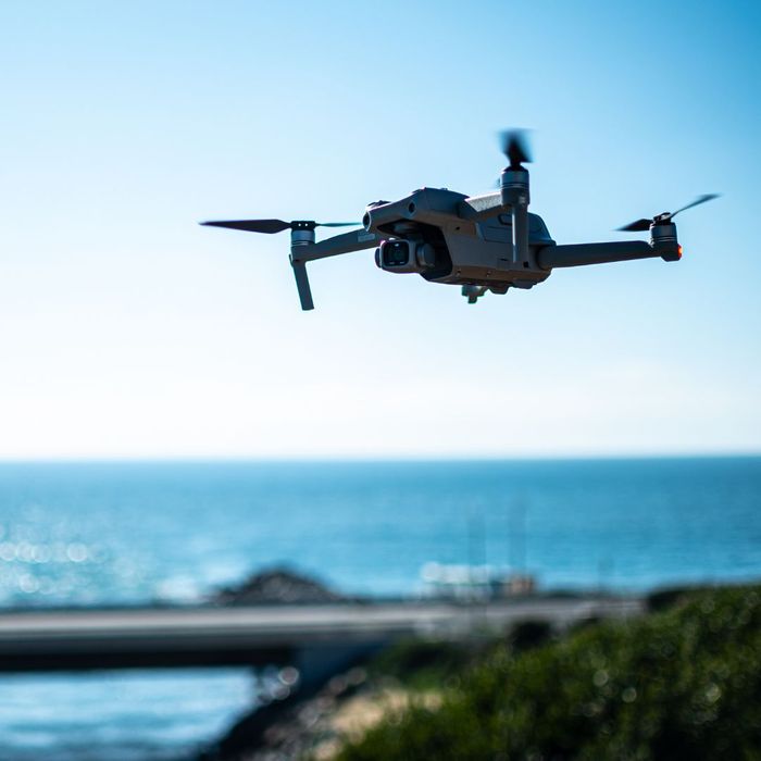
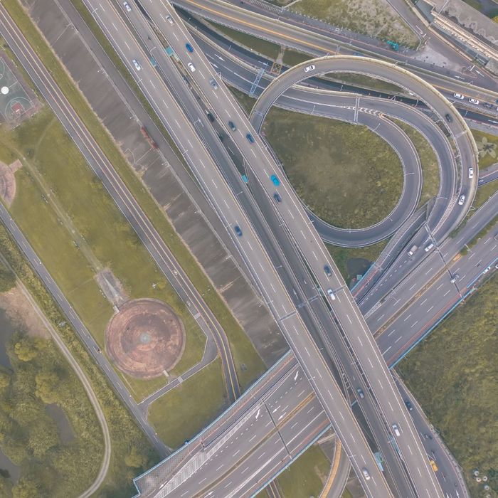
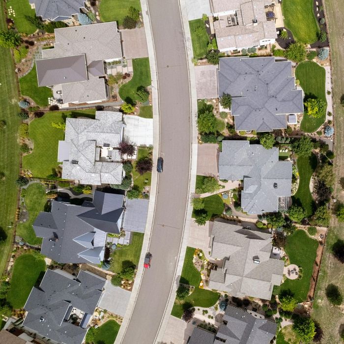
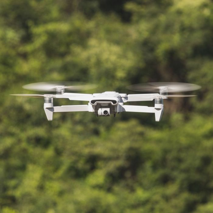
Midcoast Aerial Imagery leverages advanced drone services in Maine to explore the fascinating science of photogrammetry. As experts in aerial photography, we utilize cutting-edge 3D drone mapping technology to transform images captured by our DJI drone cameras into precise three-dimensional models. Here’s how the process works and why it’s essential for various applications.
The Science of Photogrammetry: How Drones Create Accurate 3D Models
The Science of Photogrammetry: How Drones Create Accurate 3D Models

Understanding Photogrammetry
Photogrammetry is the science of making measurements from photographs. Drone imagery involves capturing multiple overlapping images of the same object or landscape from different angles. These images are then processed using specialized software to create detailed 3D representations, allowing for accurate assessments and analyses. The outcome is a reliable model that serves various industries, from construction to environmental studies.

Precision in 3D Drone Mapping
Utilizing GPS coordinates and advanced algorithms, our drone services can accurately measure distances, volumes, and areas. This level of detail is crucial for decision-makers who rely on precise data for planning and resource management. Our team employs state-of-the-art technology to ensure that each 3D model we produce meets the highest standards.

Application of 3D Drone Mapping
In real estate, for instance, photogrammetry can create detailed property models that help potential buyers visualize spaces effectively. In construction, it assists in tracking progress and ensures compliance with project plans. This multifunctionality showcases the practicality of drone imagery in addressing challenges across different sectors.

The Future of Drone Imagery
The potential for advancement in drone technology and photogrammetry is exciting. As we continue to push the boundaries of what’s possible, the quality and accuracy of our 3D models will only improve. Midcoast Aerial Imagery remains committed to staying at the forefront of these innovations.
Harness the Power of Photogrammetry for Your Projects
Understanding photogrammetry underscores the importance of precision in today’s data-driven world. At Midcoast Aerial Imagery in Maine, we specialize in 3D drone mapping that offers unmatched accuracy and efficiency. Ready to see how our drone services can elevate your vision? Contact us today to schedule a consultation and experience the difference!
