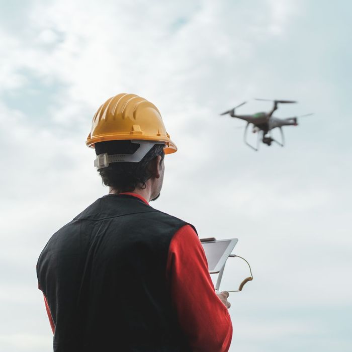
When it comes to construction, precision and accuracy are paramount. That’s why our team at Midcoast Aerial Imagery is revolutionizing the industry with cutting-edge technology that can help take your projects to new heights. Our 3d drone mapping in Maine offers a way to create accurate 3D models or maps of a terrain, structure, or object using aerial imagery captured by drones. Learn more about how this can enhance the efficiency of your construction projects, then contact us to get started!
The Power of Precision: 3D Mapping for Construction Projects
The Power of Precision: 3D Mapping for Construction Projects

Enhanced Site Analysis
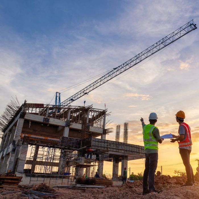
With 3D drone mapping, you can gain a detailed overview of your construction site before breaking ground. This technology allows for precise topographical analysis, identifying potential challenges or obstacles early on. By visualizing the site in 3D, project managers can make informed decisions, reducing the likelihood of costly errors and delays.

Streamlined Project Planning
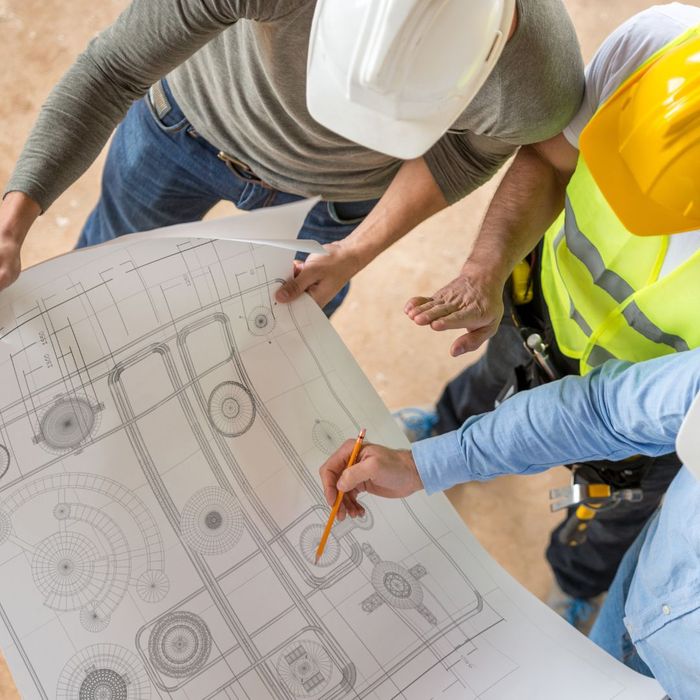
From plotting out foundations to designing infrastructure, 3D mapping provides the data needed to create detailed plans that are aligned with the actual landscape. This ensures that every aspect of the project is executed with precision, resulting in a smoother workflow and better overall outcomes.

Improved Communication and Collaboration
3D drone mapping in Maine isn’t just about accuracy — it’s also about clarity. With detailed 3D models, stakeholders, from architects to contractors, can easily visualize and understand the project’s scope and progression. This level of transparency fosters better communication and collaboration among all parties involved, helping to keep everyone on the same page.

Real-Time Progress Monitoring
By regularly updating the 3D models, teams can track progress, identify any deviations from the plan, and make necessary adjustments promptly. This proactive approach helps keep the project on schedule and within budget.
At Midcoast Aerial Imagery, our 3D drone mapping in Maine is more than just a service — it’s a powerful tool that can transform the way you approach construction projects. By providing accurate data, enhancing planning, and improving communication, our technology helps ensure that your project is built with the precision it deserves. Ready to elevate your construction projects? Contact us today to learn more!
