In the world of agriculture, accurate and efficient data collection is crucial for successful crop management. With the advancement of technology, aerial photography has become an essential tool for farmers and agricultural professionals. Midcoast Aerial Imagery specializes in capturing aerial photographs and videos using state-of-the-art drones and cameras. With detailed and accurate images, professionals can revolutionize the agriculture industry.
Exploring The Versatility Of Aerial Photography In Agriculture With Midcoast Aerial Imagery
Exploring The Versatility Of Aerial Photography In Agriculture With Midcoast Aerial Imagery

Large Area Coverage
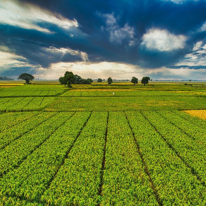
One of the key benefits of using aerial photography in agriculture is the ability to capture vast amounts of land in a fraction of the time and cost compared to traditional methods such as ground-based surveys. Our drones can cover large areas of land in a single flight, making it easier and more efficient to map out fields, monitor crop health, and identify problem areas.

Detailed, Accurate Information
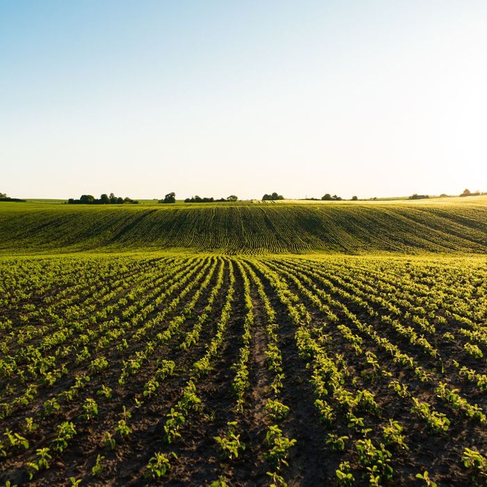
At Midcoast Aerial Imagery, our aerial images provide information with detail and precision using high-resolution cameras to capture images, allowing farmers to see their fields in incredible detail. This level of precision is crucial in identifying areas of nutrient deficiency, water stress, and pest infestation, which are all key factors in crop health and yield.

3D Mapping Farmland, Fields, and More
Aerial photography in agriculture allows us to create 3D maps of farmlands, too. These 3D maps can be used to accurately measure the height of plants, the depth of soil, and even the volume of crops. These measurements can help agriculture professionals determine which areas need more irrigation, fertilization, or other treatments, resulting in better crop management and higher yields.

Accurate Data Capture for Analytics
Aerial imagery can also be imported into software that analyzes data and provides detailed reports on crop health, yield estimates, and soil moisture levels. This information is invaluable for farmers as it allows them to make data-driven decisions on which areas to focus on and which treatments to apply, resulting in more efficient use of resources and increased profitability.
Aerial photography can be an indispensable tool in modern agriculture, and with Midcoast Aerial Imagery, farmers and agriculture businesses can use advanced technology and expertise to gain access to high-quality, precise, and timely images. Contact us today to get started with a free consultation for your aerial agricultural imagery!
