Infrastructure projects are complex undertakings requiring immense precision from the outset. Traditional surveying methods, while reliable, can be time-consuming and fail to capture a fully comprehensive view of the terrain. Midcoast Aerial Imagery revolutionizes this process with advanced aerial 3D mapping, providing detailed, accurate, and actionable data that streamlines project lifecycles from conception to completion, ensuring efficiency and reducing costly errors.
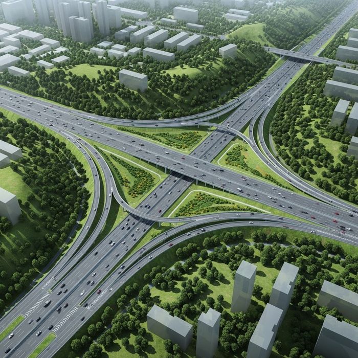
Aerial 3D Mapping for Infrastructure Planning: Streamlining Projects with Midcoast Aerial Imagery
Aerial 3D Mapping for Infrastructure Planning: Streamlining Projects with Midcoast Aerial Imagery
Unprecedented Data Accuracy
Our state-of-the-art drones capture high-resolution data to create precise, to-scale 3D models of your project area. This level of detail surpasses traditional ground surveys, providing engineers and planners with a comprehensive digital twin to meticulously plan every aspect of the project, from earthwork calculations to material staging, ensuring that initial plans are based on exact site conditions.

Enhanced Stakeholder Collaboration
Interactive 3D models serve as a powerful visual tool, enabling all stakeholders to explore the project site virtually. This shared, easily understandable perspective facilitates clearer communication, faster decision-making, and more effective collaboration between architects, engineers, and clients. By visualizing the final outcome, teams can identify and resolve potential conflicts before breaking ground.

Accelerated Project Timelines
Aerial surveys are significantly faster than their terrestrial counterparts. We can capture data for vast and challenging terrains in a fraction of the time, dramatically accelerating the preliminary planning phases. This speed allows projects to move forward more quickly, reducing overall timelines and minimizing public disruption while capturing a complete snapshot of the site at a specific moment.

Comprehensive Site Analysis
Our 3D maps provide a holistic view of the landscape, revealing critical insights that are difficult to discern from the ground. Planners can easily identify potential risks such as environmental constraints, topographical challenges, and existing utility pathways early in the process. This foresight allows for proactive problem-solving and the development of more resilient and sustainable infrastructure designs.
Harness the Power of Perspective
Harness the power of perspective to build the future more efficiently. By integrating our aerial 3D mapping services, your infrastructure projects will benefit from reduced risks, lower costs, and accelerated timelines. Contact Midcoast Aerial Imagery today to discover how our expertise can bring unparalleled clarity and precision to your next project.